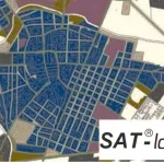
Cognitive Framework for Urban Planning and monitoring of Strategic Environmental Assessment (SEA).
Continuous monitoring of water and sewer pipeline stability
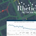
Automatic cloud-based monitoring for infrastructures and buildings
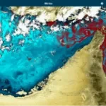
Automatic cloud-based geo-information service for continuous monitoring of coastal seawater quality and marine resources.
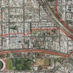
Urban monitoring and recognition of illegal construction
Satellite orthoimages for the timely monitoring of changes on the territory.
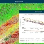
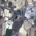
Landslide identification and monitoring for infrastructure planning and management
FPGA or SW solution for on-board hi-performance hyperspectral data compression and cloud classification
1st SAFEWAY Open Workshop - October 6th, 2020