Providing Earth Observation and webGIS tools to locate and monitor underwater archaeological sites in coastal zone
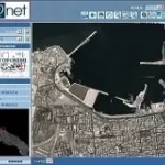
The WebGIS solution for the management and consultation of large raster and vector datasets, ideal to distribute on-line catalogs of cartographic data.